

New Media Assets for Content Creators
Over the past few months, we’ve been receiving an increasing number of requests from documentarians, YouTubers, and content creators who wanted to include TransCanada Ultra route visualizations in their productions. The problem? Our complete route files contain over 197,000 waypoints—enough data to bring most animation software to its knees.
The Challenge of Scale
When you’re building the longest bikepacking event in the world, spanning
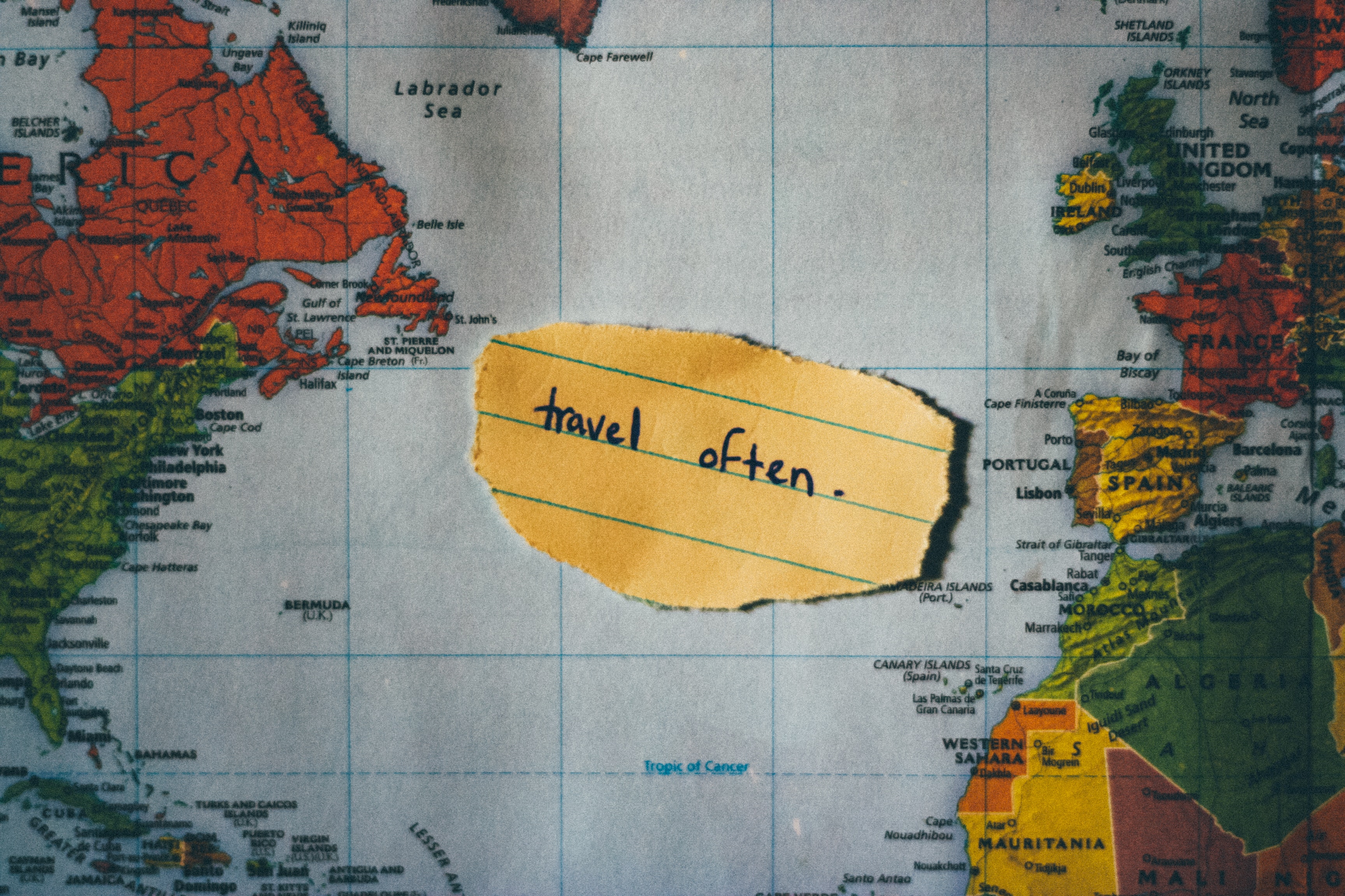
Oh, Canada !
Some projects seem so simple. After completing the TransAm Bike Race in 2018 (of which I loved every single minute) I thought: couldn’t we organize one in Canada as well ? We have an even longer territory, more varied terrain and climate, more protected bike paths, and spectacular vistas. It should be a piece of cake, right ?
Was that ever unexpectedly hard to pull off. Nearly a thousand hours of work later the piece of cake is finally served. You see: a national bikepacking race of this magnitude has never been attempted. Unlike TransAm which varies around a well-known route Canada has no such route. It would like to though: there is an illusion of a bike path called the Trans-Canada Trail that looks really great on a map but often cannot be found on the ground. Sometimes it is a bike path suitable for road bikes, sometimes only for mountain bikes, at times it is only accessible in winter and is dedicated to snowmobiles, often there is just nothing at all. So step 1: build a new national trail.
Read more